


 of Turnstile Barrier Gates Tasks: Metrics and Concerns")


From building a house to dividing a piece of land, any action related to real estate is accompanied by land surveys. These surveys ensure that your project is accomplished without legal, constructional, or design complications. And thus, land surveys are best done using specialized survey equipment and skills. If you are searching for survey companies in Red Deer, this blog starts you with all you need to know about topographical surveys.
What is A Topographical Survey?
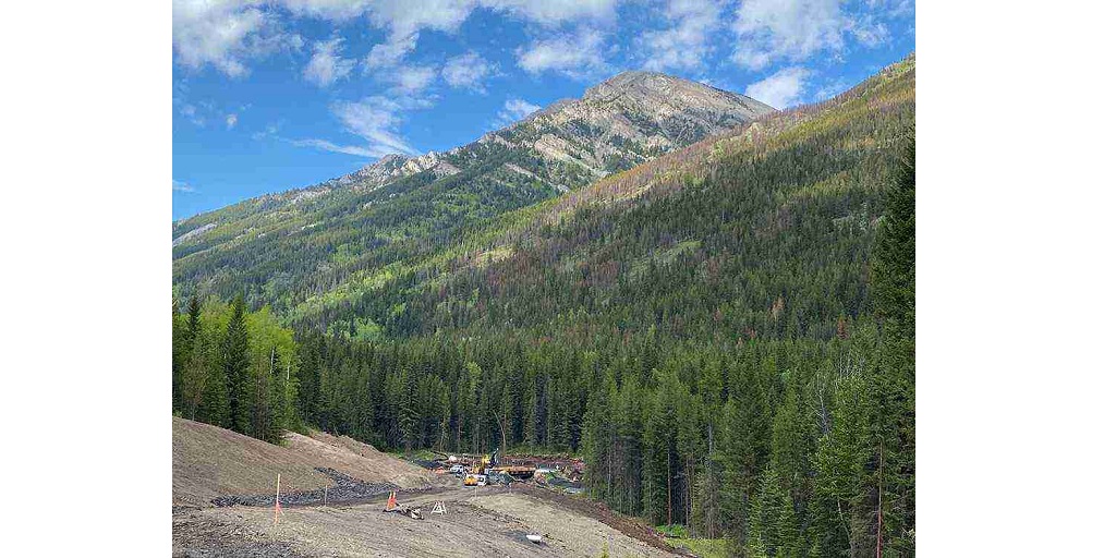
A topographic land survey measures the height, depth, size, and location of natural and artificial features on a piece of land. Boundary surveys focus on horizontal measurements, and in contrast to them, topographical surveys analyze the elevation of the land.
Topographic features are measured by experienced land surveyors for precise measurements. They assess both natural and artificial topographic features, which we have explained below.
Natural Topographic Features
● Slopes or depressions in the land.
● Natural banks.
● Watercourses, ponds, and lakes.
● Isolated trees.
● Woodland, vegetation, and bushes.
Artificial Topographic Features
● Boundary treatments such as walls, hedges, and fences.
● Footpaths and cycle paths, rough tracks, and grass verges.
● Roads, top and bottom kerbs, road crown lines, and white line markings.
● Manhole covers, gullies, and other drainage systems. Bunds and drainage ditches.
● Bridges, ramps, steps, and canopies.
● Street furniture– signages, litter bins, and benches.
● Shrubs and gardens.
● Surfacing such as tarmac, concrete, gravel, grass, etc.
Where Are Topographic Surveys Used?
Smaller domestic projects are typically taken care of by an architect, and a professional land surveyor is not required. However, for any big or complex real estate project, topographic surveys are pivotal for getting things started.
Not only in building houses, topographical surveys are used in engineering, design, architecture, and business development among other fields. They ensure safety and mitigate risks, so that there are lesser chances of costly mistakes.
If you are looking for survey companies in Red Deer, the following details of topographic survey uses can prove helpful.
● Make plans as per the requirements of planning authorities.
● Design layouts for multiple houses, with a road plan and drainage runs.
● Design site layouts for offices, industries, residences, or other mix usages.
● Design house extensions or single new build within site boundaries.
● Model flooding of watercourses; flood plans to analyze site viability; challenging the flood map.
● Plot the findings of environmental studies such as ecology tree surveys.
● Resurfacing and redesigning car parks.
● Geo-technical site investigations and planning.
● Design new accesses and realignments. Tie them into existing highways, junctions, and roundabouts.
● Measuring land areas.
● Resurveying and producing as-built drawings for finished projects.
● Register and transfer land with the Land Registry by creating title and transfer plans.
Survey companies in Red Deer
Topographical and any other kind of survey requires expert attention and trustable skills. It is only when a surveyor is experienced and talented that you can get precise and accurate surveys done. So, if you are looking for survey companies in Red Deer to take over your project, consider reaching out to CORE Geomatics.
They are a Geomatics company operational in all of Western Canada, with a stronghold in land surveys. CORE Geomatics uses high-end technology, the latest tools, and the best machinery to carry out all geomatics services.


